
Pilot Program Meant to Improve Roadway Safety
Honda and the Ohio Department of Transportation achieved highly accurate results with their pilot project the Honda Proactive Roadway Maintenance System that concluded this year.


Honda chief engineer Sue Bai and director of Safety Strategy Brian Bautsch recently held a conversation about the potential future of the roadway safety system.
Honda
- Honda collaborated with the Ohio Department of Transportation on a pilot project for road safety improvements.
- The project, called the Honda Proactive Roadway Maintenance System, concluded this year.
- The initiative achieved highly accurate results in enhancing roadway safety.
*Summarized by AI
A roadway safety pilot project led by Honda and the Ohio Department of Transportation (ODOT) produced positive results, and the automaker is hopeful that other states and manufacturers will join the initiative to create safer roads.
The Honda Proactive Roadway Maintenance System used real-time vehicle-generated data to detect and report road deficiencies. ODOT team members drove Honda test vehicles across approximately 3,000 miles of roads in central and southeastern Ohio under a wide range of real-world conditions including rural and urban environments, various weather conditions and different times of the day. The test vehicles were equipped with advanced vision and LiDAR sensors that monitored the road conditions like road signs, guardrails and potholes.
Honda said that the results were highly accurate with a 99% accuracy detecting damaged or obstructed signs, 93% accuracy for damaged guardrails and 89% average accuracy for potholes.
“When deficiencies were detected, AI-processed data flowed automatically to ODOT dashboards, where work orders were generated and prioritized by the severity of the issue — without a crew needing to drive around to look for problems,” said Honda chief engineer Sue Bai.
“Our project team estimates that scaled deployment could save ODOT more than $4.5 million a year!”
More importantly, the system could produce better safety outcomes for drivers as well as the people performing road work, Bai said. With the system detecting the damage, the risk of manual inspections diminishes.
According to the director of Safety Strategy for Honda Brian Bautsch, the automaker is in active conversations with other states about expanding the system to their transportation departments.
“We can imagine other manufacturers with similar safety and driver assistance technologies in their vehicles joining this effort in the future,” said Bai.
Honda isn't the only company with a pilot program detecting road hazards. Autonomous vehicle company Waymo partnered with navigation provider Waze to detect and provide up-to-date information on potholes where Waymo operates.
The data will be visible to Waze users, as well as cities and state transportation departments alongside user-reported pothole information. And Waze application users will be able to verify the Waymo-reported potholes, which the companies say will increase the data's accuracy.
The pilot program will launch in the San Francisco Bay, Los Angeles, Phoenix, Austin and Atlanta metro areas with the intention to expand to more cities.
More Industry
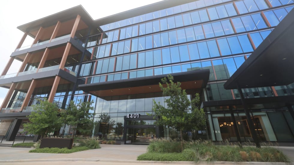
Toyota Financial Services Adds to HQ
The subsidiary says the new Texas facility is designed to foster collaboration and innovation with the aim of future growth.
Read More →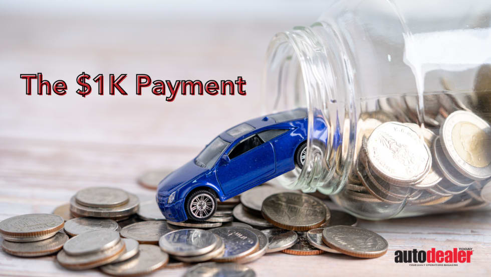
Four-Figure Loan Payments on the Rise
A LendingTree analysis found that location, age and credit score play a role in the rising amount of auto loan borrowers who make monthly payments of $1,000 or more.
Read More →
Dealer Debrief: New-Vehicle Sales Update
In this week's debrief, host Lauren Lawrence discusses the state of new-vehicle sales.
Read More →

Color Your Ride
The first vehicles by startup automaker Slate will come with the option of a medley of wraps in five colors familiar from your childhood.
Read More →
China Leads Global EV Sales
Globally, electric-vehicle sales are continuing their upward trajectory, buoyed by Chinese exports, as the North American region continues to lag behind.
Read More →
How Defection Data is Bridging the Dealership Conversion Gap
Lead volume is flat, cross-shopping is up and brand loyalty is in retreat. As confident sales teams keep losing buyers they thought they had, daily industry sales data is showing dealers exactly where their funnel is breaking and how to fix it without buying a single new lead.
Read More →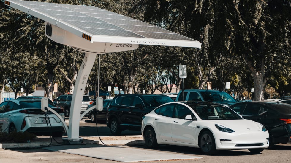
Optimized Charging Could Reduce Costs
According to an Alliance for Automotive Innovation analysis, optimized EV charging could cut costs for drivers and improve grid infrastructure - potential adoption incentives.
Read More →
June Automotive Boon?
A forecast for this month’s new-vehicle sales tells a familiar 2026 story: Year-over-year comparisons must be made in light of last year’s aberrations.
Read More →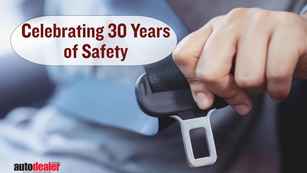
Safety Improvements Save Lives
Over the past 30 years, automakers have made many safety tweaks to their vehicles. An insurance industry testing group says that's largely thanks to its crash-worthiness program and that prevented fatalities are the clear result.
Read More →
Indiana Dealership Changes Hands
The Chicago-area CDJR store has been in business for nearly 70 years and is now part of a fast-growing automotive group spread across six states.
Read More →